The latest on Hurricane Ian
- September 26, 2022
- 0 Comments
- By Story/Photos By Bryan Davis
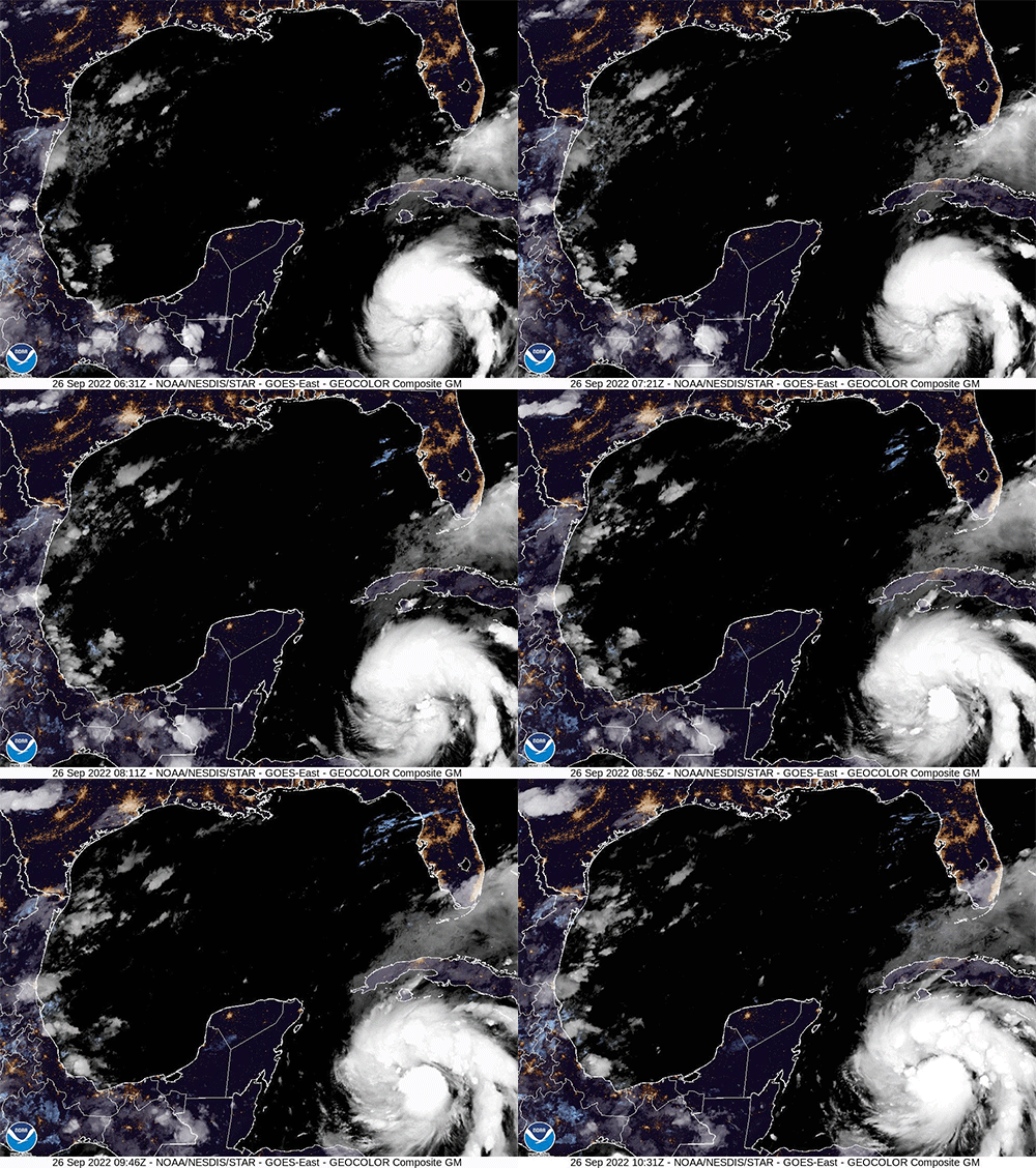
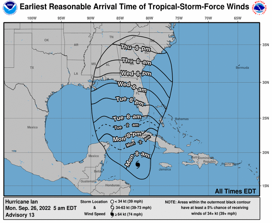
It’s about 6:30 am this Monday and it is looking like the Ian Track it is still on course for a close flyby of the Gulf Coast swinging right by Tampa. Many models are predicating it to become a Category 4 hurricane by Tuesday and then weaken just a bit to a Category 3 on Thursday as it approaches the Tampa area. As it interacts with Florida the hurricane should weaken down to a Category 1 hurricane at which point the center of the storm will probably make landfall near the cedar key area midday on Friday. After that it will dissipate quickly over land and likely burn itself out.
Please be careful though because it’s going to be pretty windy but the storm is a slow mover so flooding is going to be a big concern with this one. Stay safe.
- Bryan

